National Geographic Cuba Wall Map – Classic (Poster Size: 36 x 24 in) (National Geographic Reference Map)
Description
Price: [price_with_discount]
(as of [price_update_date] – Details)
[ad_1]
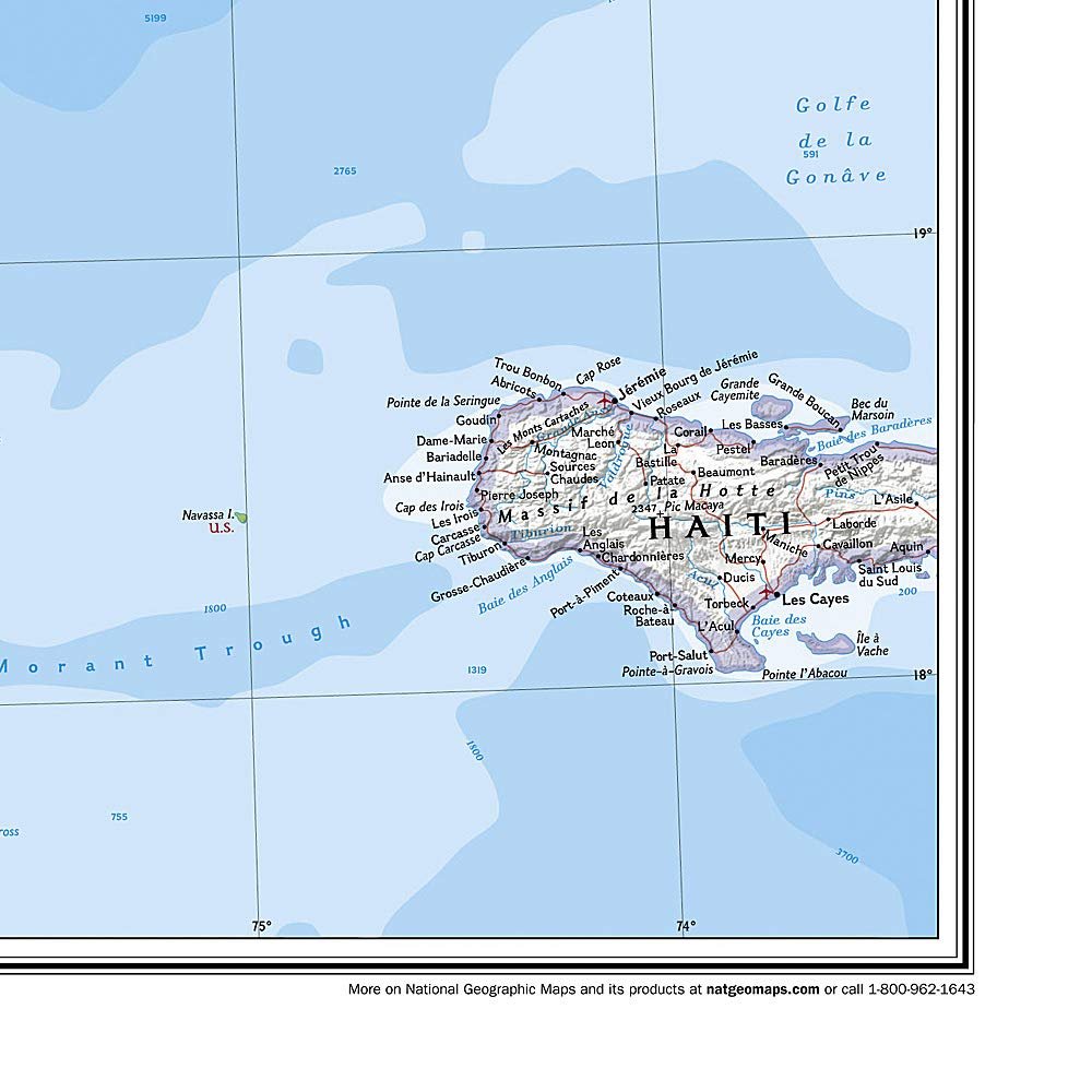
Expertly researched and designed, National Geographic’s signature Classic style map of Cuba uses a bright and vibrant color palette featuring stunning shaded relief and ocean bathymetry. Pinpointed on the map are thousands of cities and towns, national parks, mountains, swamps, coral reefs and islands of the archipelago. In addition, major infrastructure networks are displayed, including highways, roads, railroads, oil fields and pipelines, airports, canals and ferry routes. Jamaica, the Cayman Islands, the Florida Keys, and most of the Bahamas and Haiti are shown, along with the Gulf of Mexico, Caribbean Sea, Atlantic Ocean and Straits of Florida. A user friendly index shows the English translation for many geographic terms.
The map is packaged in a two inch diameter tube with a label showing a thumbnail of the map with dimensions and other pertinent information.
Map Scale = 1:1,500,000Sheet Size = 36″ x 24″
Customers say
Customers find the map excellent, with one noting it’s perfect for trip planning. They appreciate its detail, with one review highlighting its comprehensive coverage of rainforests and museums. The map looks great on walls, and customers find it very useful.
[ad_2]


Reviews
Clear filtersThere are no reviews yet.